The network covers Sainte-Foy, Sillery, Cap-Rouge, Université Laval, Old Québec, Limoilou, Beauport, Charlesbourg and Les Rivières. A Québec–Lévis link is provided in the short term by shuttle-trucks and shuttle-boats, pending a dedicated under-river tunnel.
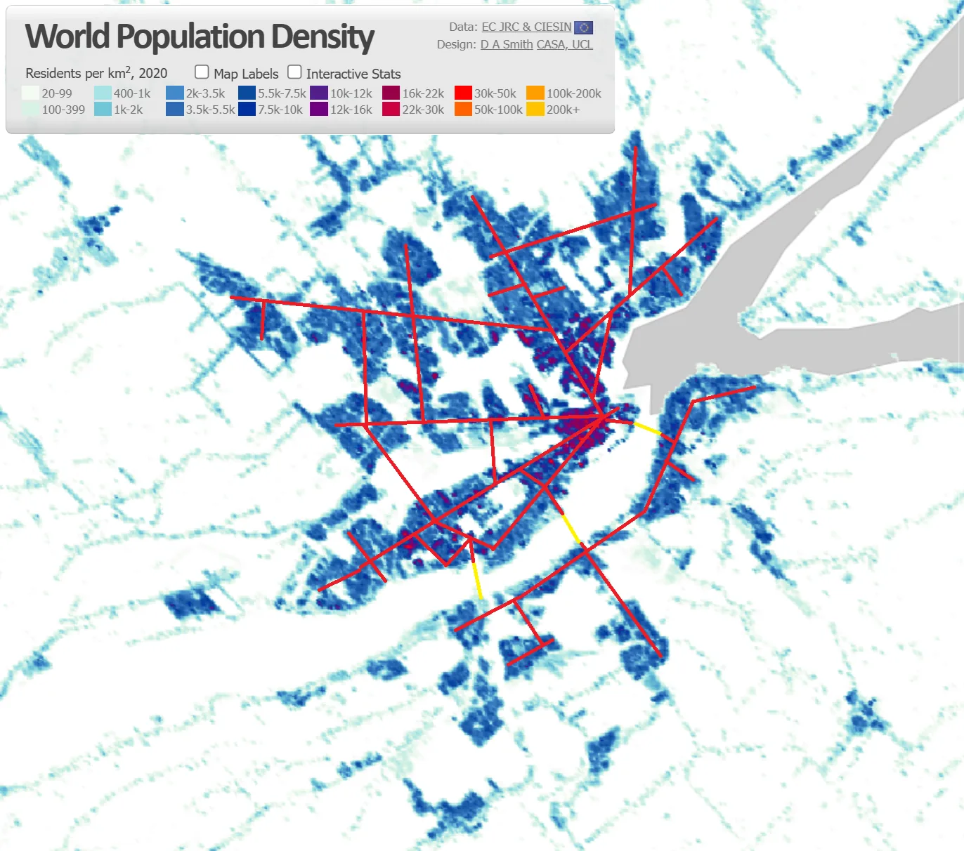
The route is anything but arbitrary: it was drawn to follow the population density of the greater Québec City region as closely as possible. Every kilometre of tunnel aims to run where the most people live, so as to maximize the number of residents who can reach the network on foot. As a result, 480,000 people are within one kilometre of a route — just a few minutes' walk — and 700,000 within two kilometres. By tracking the density map rather than the major road corridors, the network serves the neighbourhoods where demand is truly greatest.
Why an underground network rather than surface paths?
Three main reasons: the Québec climate makes surface cycling difficult about 9 months a year (6 winter months, plus about 3 months of rain, wind and freezing rain); collisions with motor vehicles are the leading cause of cyclist deaths; and the surface is already saturated by other uses.
The underground offers an unused 3rd dimension. At every crossing, one tunnel simply passes beneath the other — the result: zero stops, zero red lights, zero accordion effect.